
At Acovis Systems
We transform aerial views into strategic information.
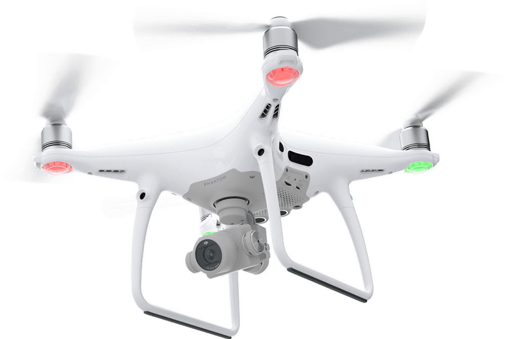
Drone surveys and topographic analysis with centimeter precision.
Up to 5 cm
Precision
+ 10 years
Project experience
Regulatory compliance
RAC Appendix 13 and FAA Part 107
Safe operations
In hard-to-reach or high-risk areas