

With over a decade of experience, certified equipment, and international regulatory compliance, Acovis Systems delivers high-quality data for smarter decision-making
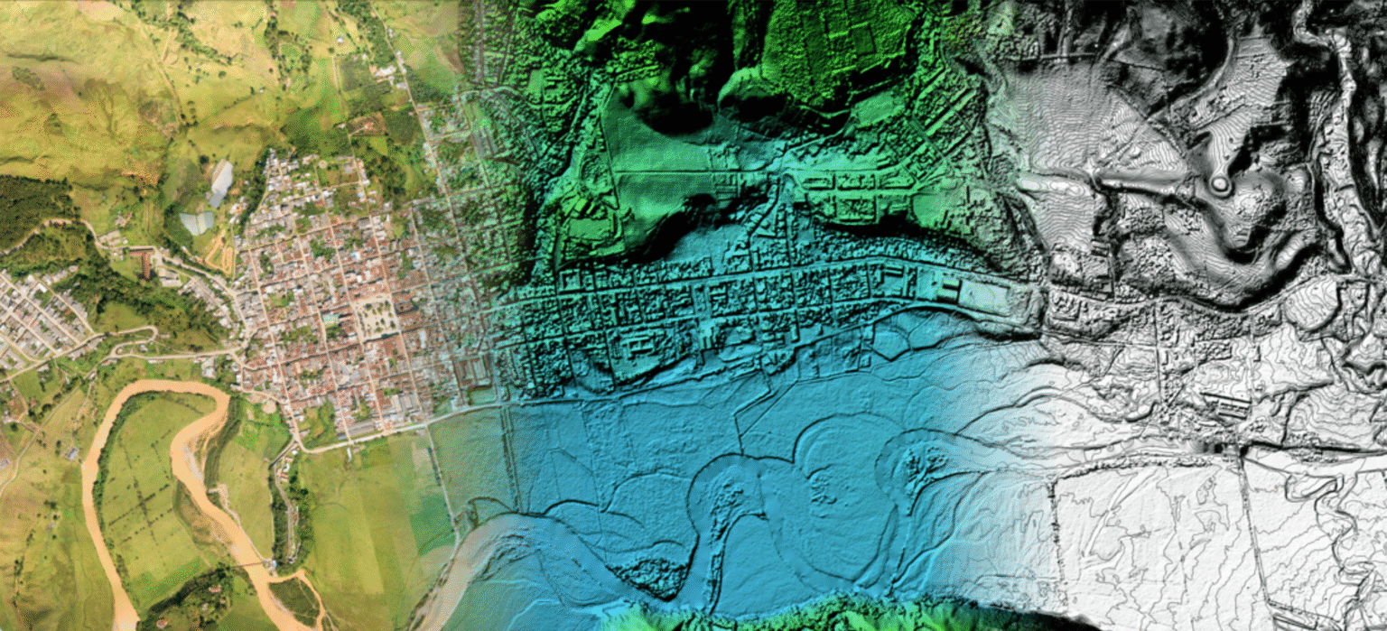
We specialize in geospatial survey and analysis with drones, LiDAR, photogrammetry, and satellite technology. Their solutions offer 3D models with an accuracy of up to 5 cm, reducing costs and time compared to traditional methods. They serve sectors such as precision agriculture, infrastructure, energy, and Oil & Gas, performing safe and efficient inspections of large or hard-to-reach areas.
Centimeter precision, reducing costs and time in your projects.
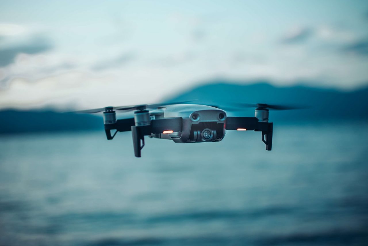
With our aerial technology, we take geospatial information to a new level. Drones equipped with LiDAR and photogrammetry allow us to capture terrain with great accuracy, optimizing time, reducing costs, and providing reliable data for strategic decision-making across multiple industries.

- Generation of orthomosaics, elevation models, and topographic maps with high accuracy, ideal for construction planning, environmental studies, and erosion control.
- The use of LiDAR allows dense vegetation to be penetrated to obtain accurate terrain data.
- Key advantage in mining, infrastructure, and forestry management projects.
At Acovis Systems
Copyright © 2025 All rights reserved.
